Log in
All resources
Create a design
33,693 Free Images of 1600 Maps
maps in the library of congress
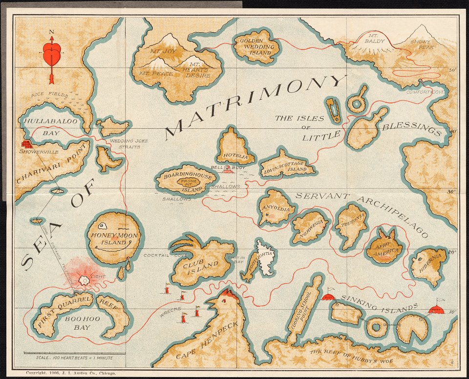
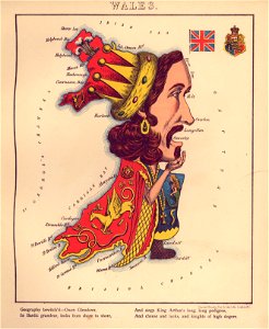
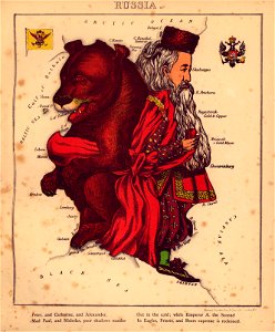
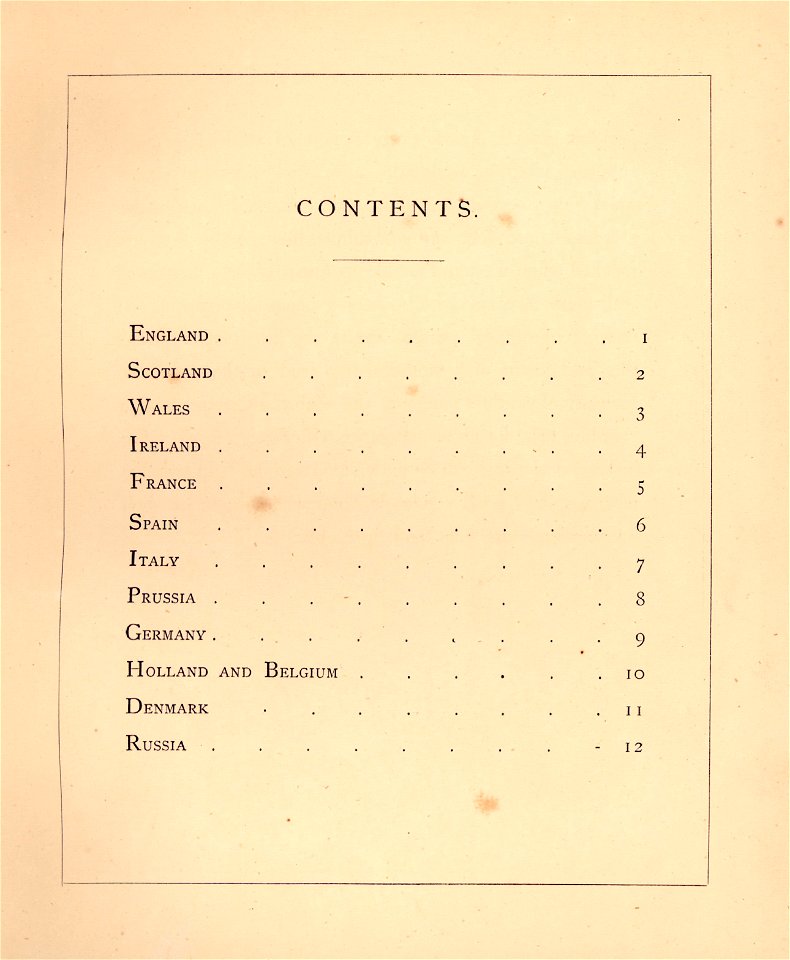
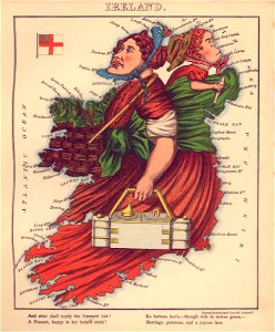
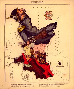
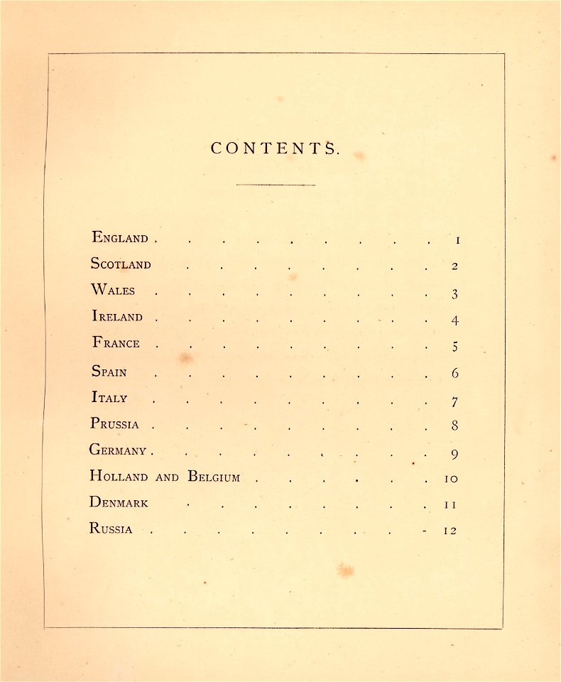
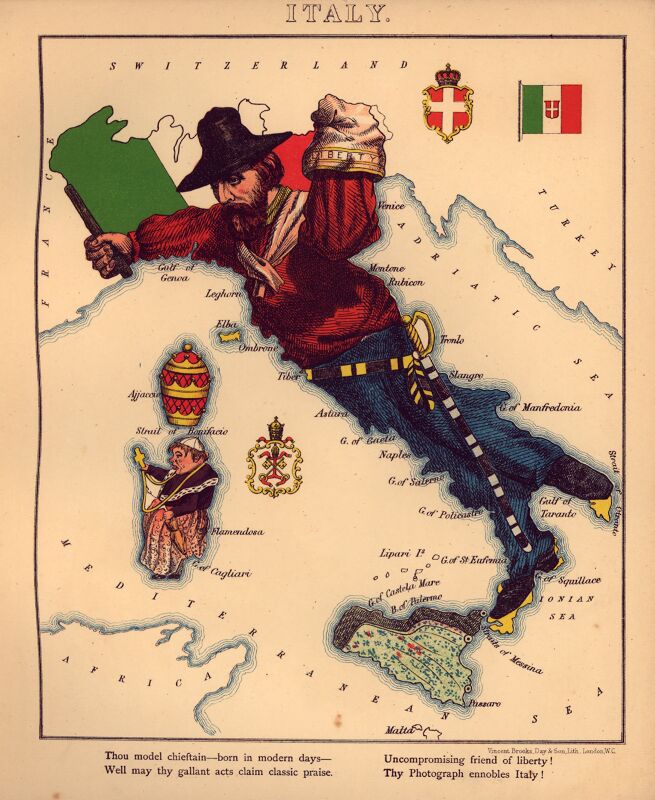
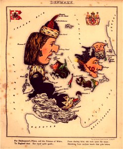
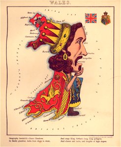
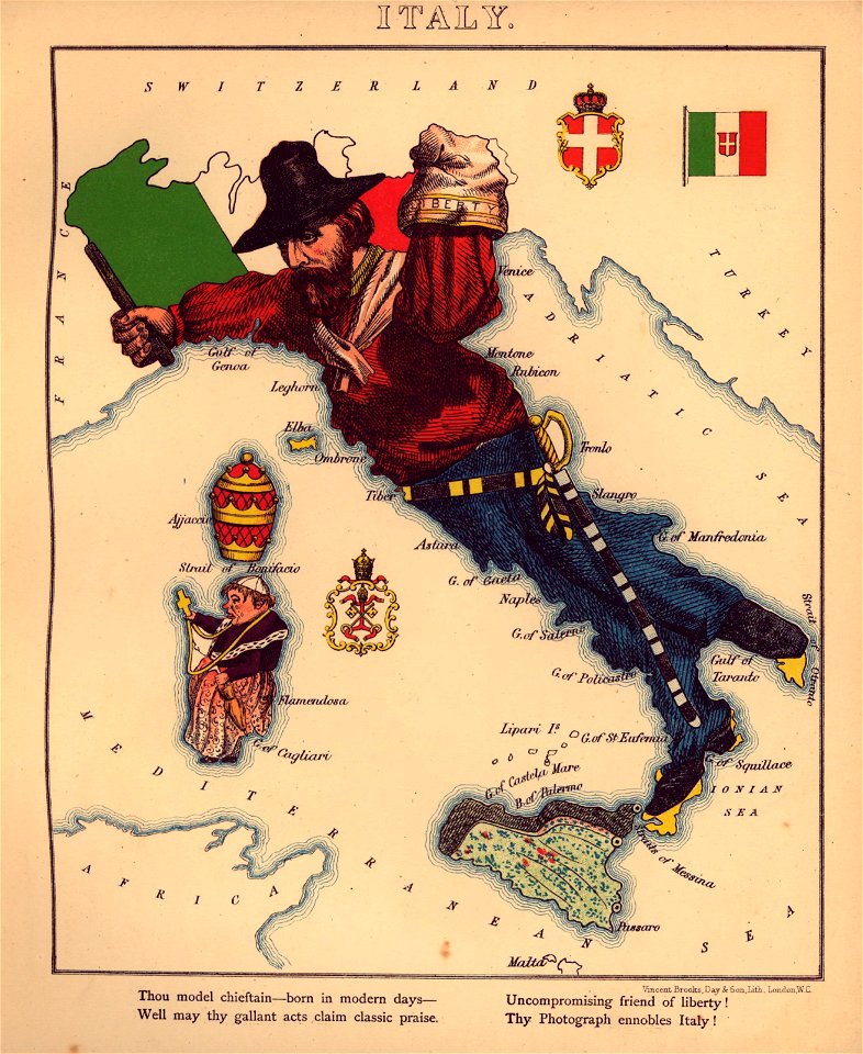
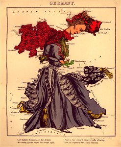
geographical fun - being humourous outlines of various countries
with an introduction and descriptive lines
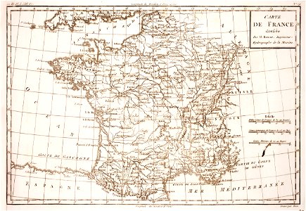
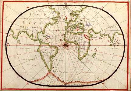
maps made in the 17th century
western europe
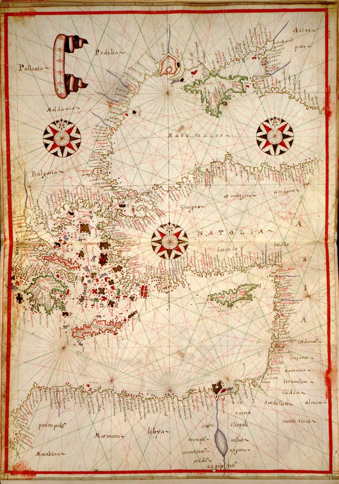
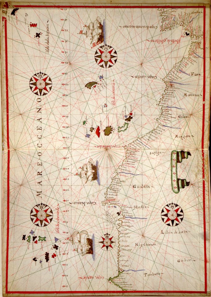
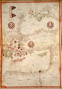
portolan atlas of the mediterranean sea
and the northwest coast of africa
atlantis magni tomus quartus (biblioteca comunale di trento)
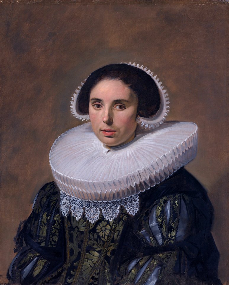
1600–1650 in western european fashion
jan janssonius
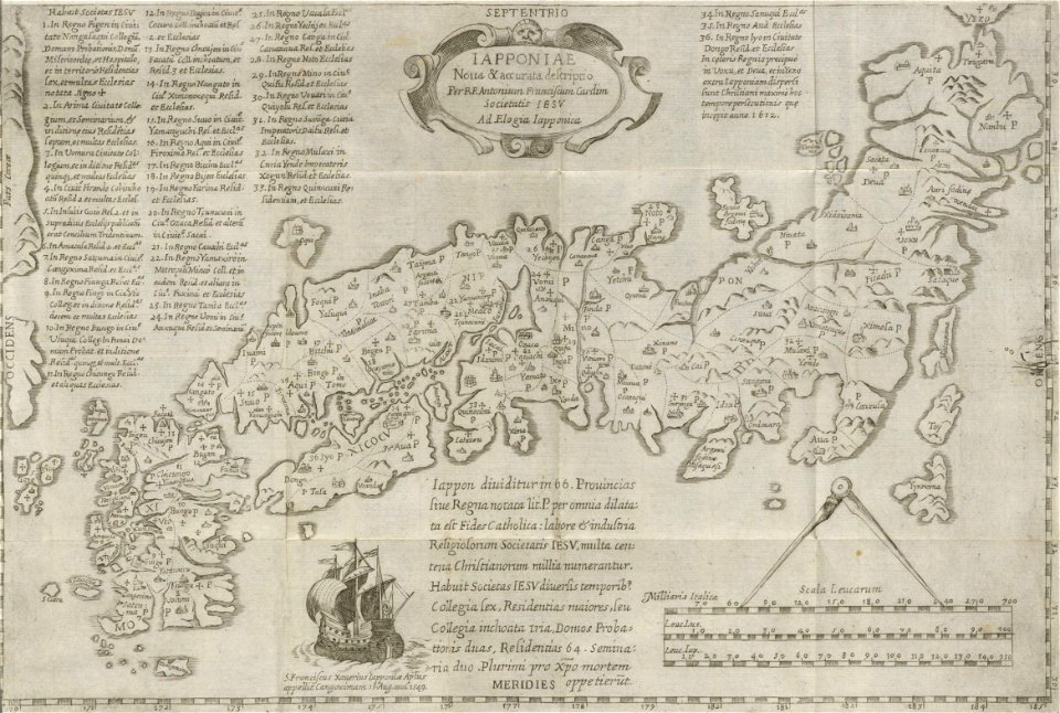
19th-century maps of japan
harvard university
cornell university library
marriage in art
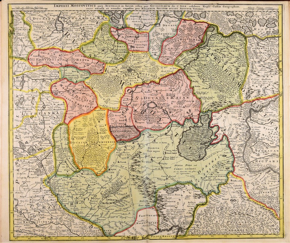
18th-century maps of russia
works by guillaume delisle
maps made in the 17th century
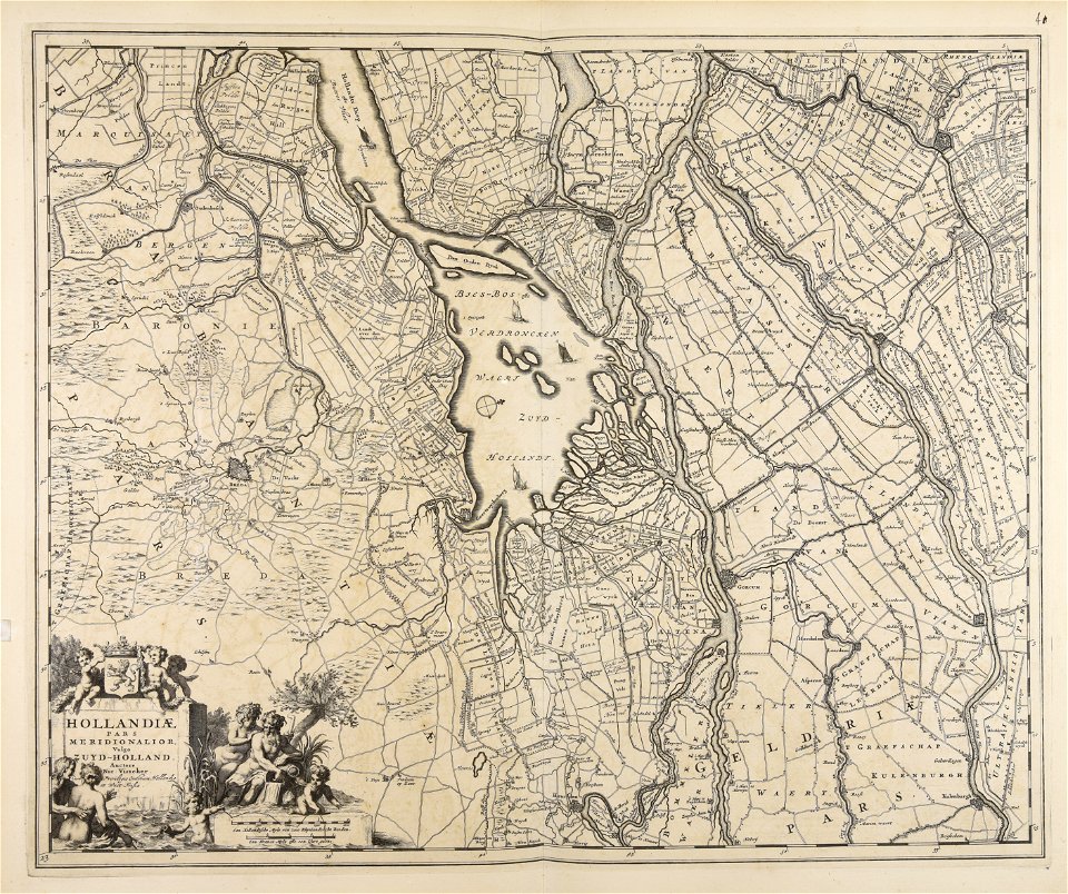
nicolaes visscher ii
cornell university library
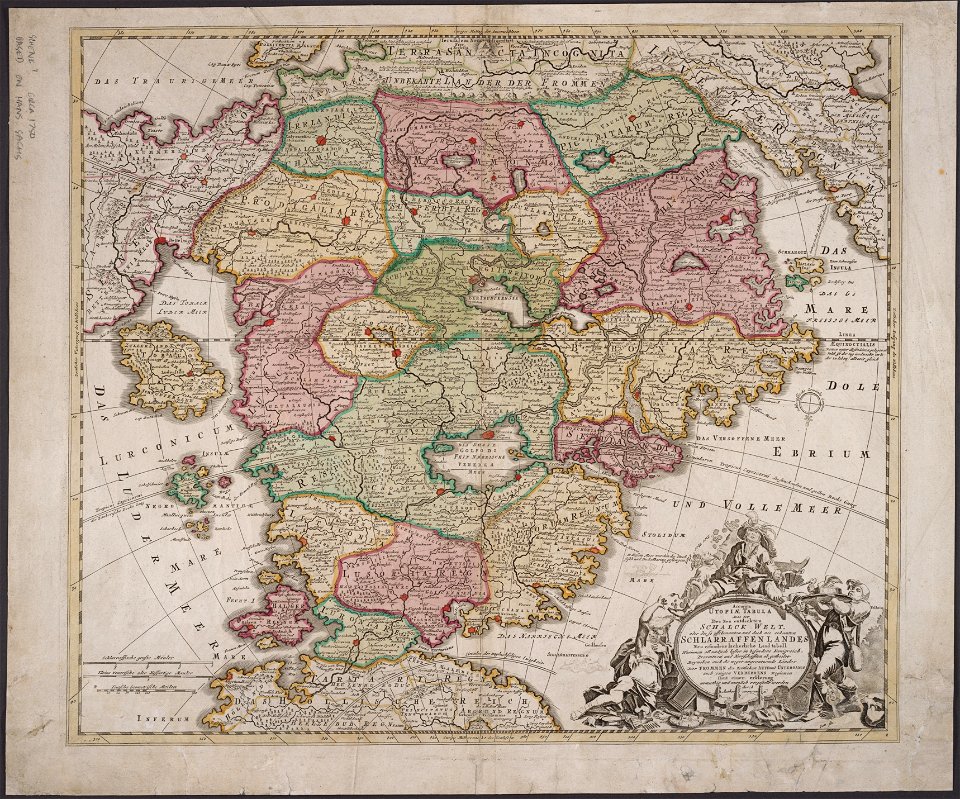
utopia
maps made in the 18th century
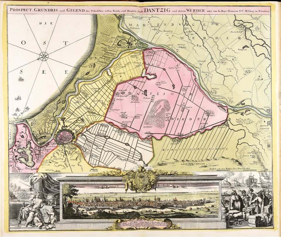
johann baptist homann
popular science monthly illustrations/unused images
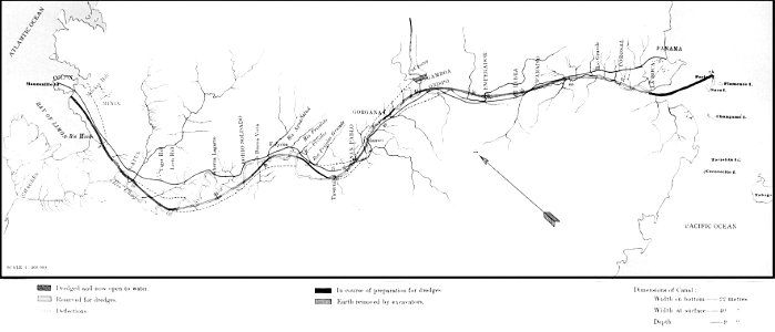
old maps of panama
engravings of topographia saxoniae inferioris
history of plau am see
prints from bonne atlas de toutes les parties at the peace palace library
dien (printer)
prints from bonne atlas de toutes les parties at the peace palace library
dien (printer)
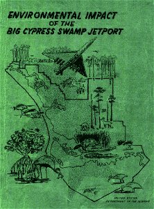
environmental impact
1969 in florida
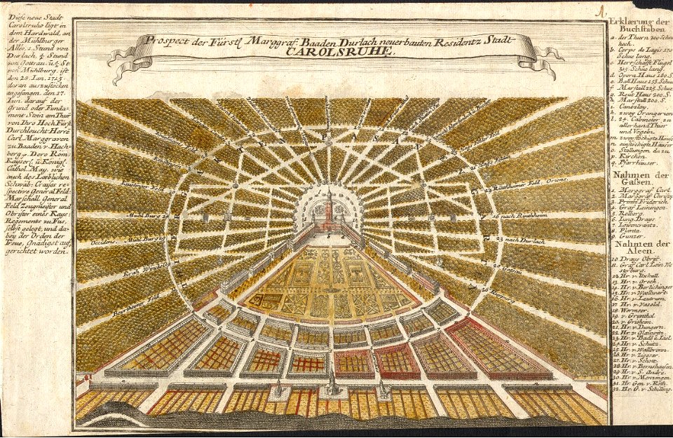
karlsruhe palace
gabriel bodenehr
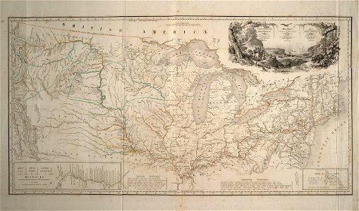
maps of the united states
karl bodmer
historical maps of lüneburg
ludwig albrecht gebhardi
maps made in the 17th century
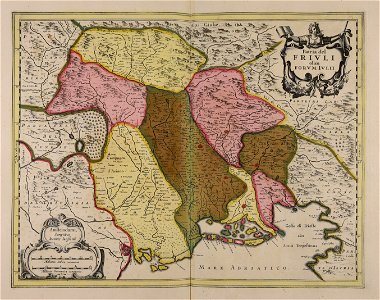
friuli-venezia giulia
old maps of cyprus
cyprus in art
prints from the peace palace library
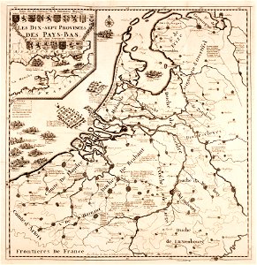
military history of the netherlands
second cataract of the nile
lepsius-projekt - maps
english-language title pages
title pages of maps
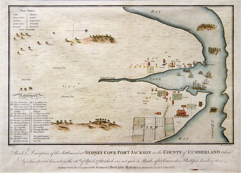
port jackson
sydney cove
collections de la bibliothèque nationale et universitaire de strasbourg
maps of strasbourg in the 19th century
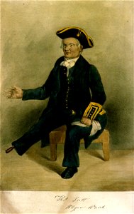
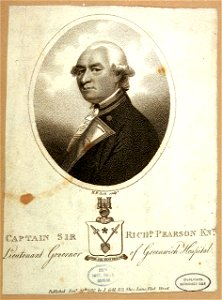
greenwich pensioners
printing
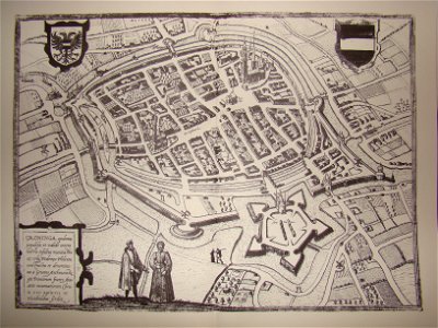
demolished buildings in groningen (city)
old maps of groningen (city)
norway, sweden, and denmark- with excursions to iceland and spitzbergen; handbook for travellers (1909)
maps of skansen
museo de bellas artes de sevilla - sala iii
paintings of raymond nonnatus in spain
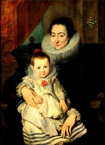
17th-century portraits with coat of arms
dresden
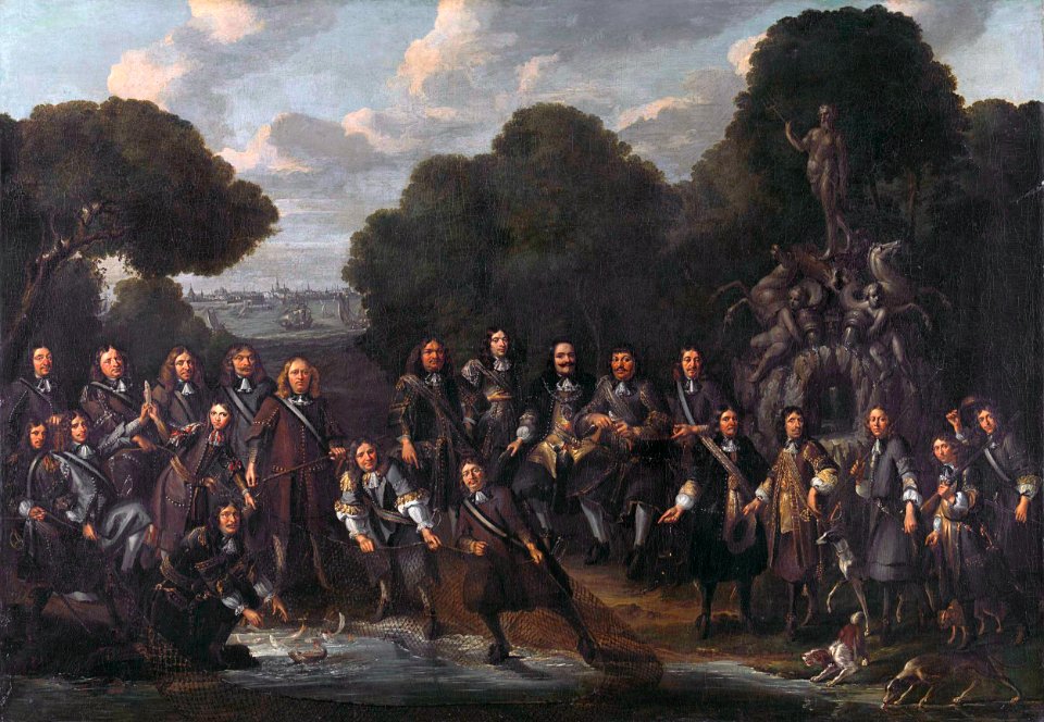
group paintings of men
michiel de ruyter
explore
london
schaube
robe
17th-century oil on panel paintings in the united states
facing left
london
1574
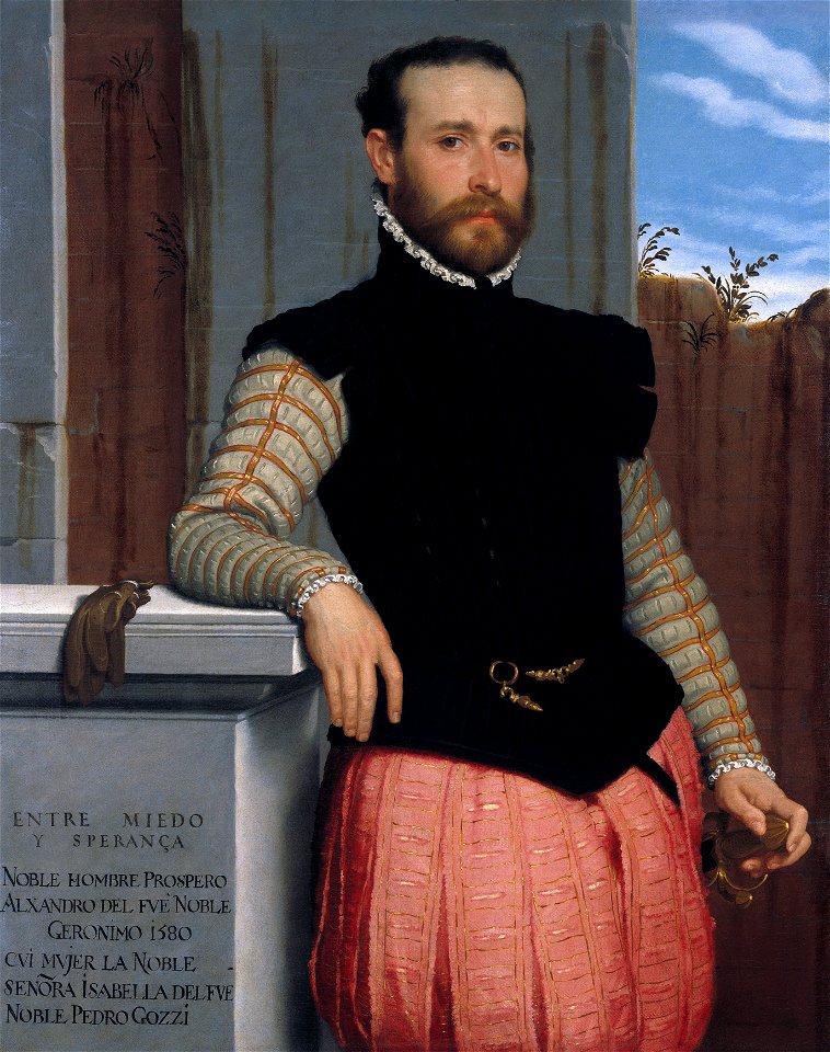
portraits by giovanni battista moroni
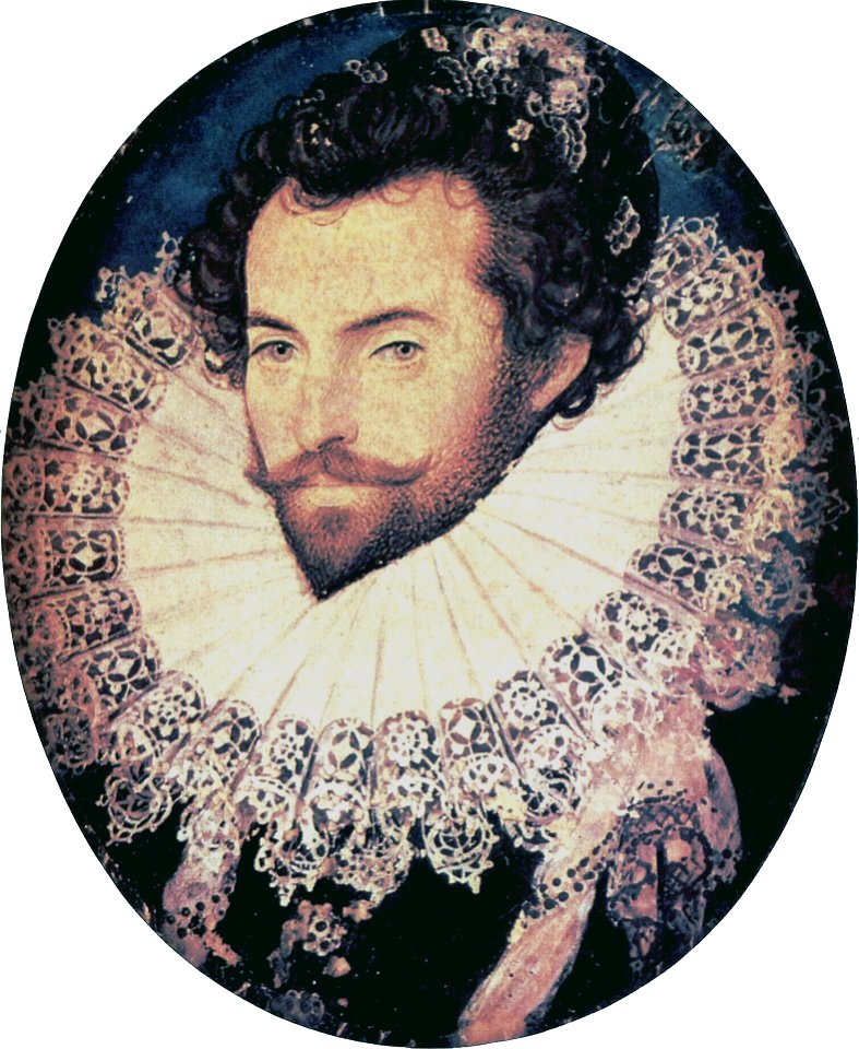
portrait paintings of bearded men
facing left and looking at viewer
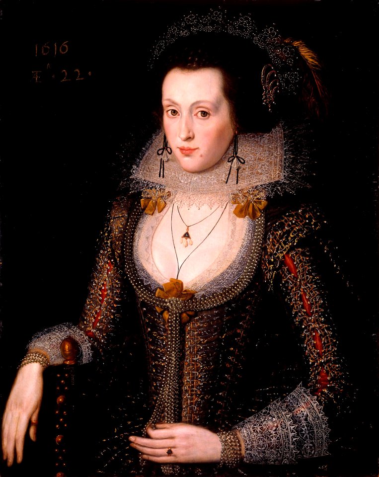
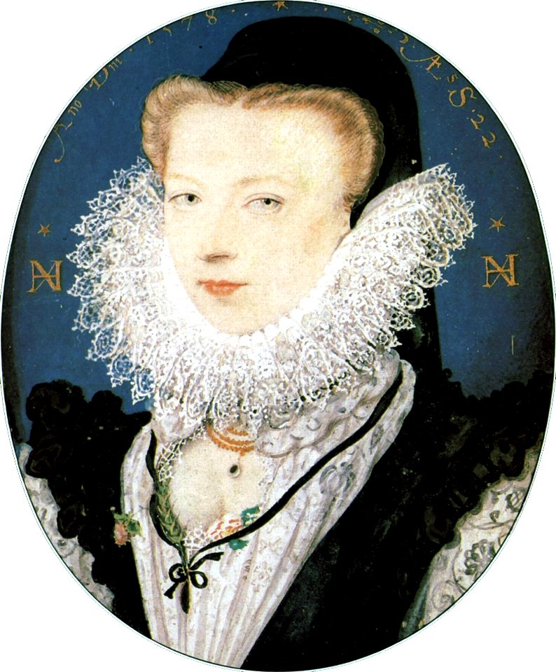
1578 portrait paintings of women
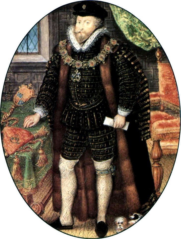
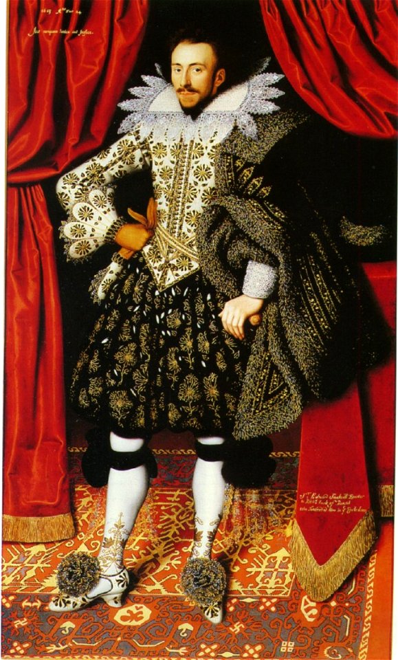
17th-century oil portraits of standing men at full length
pluderhose
1989
1974
maps from the earth and its inhabitants, vol. vi
charles eugène perron
torquato tasso in art
italian-language maps
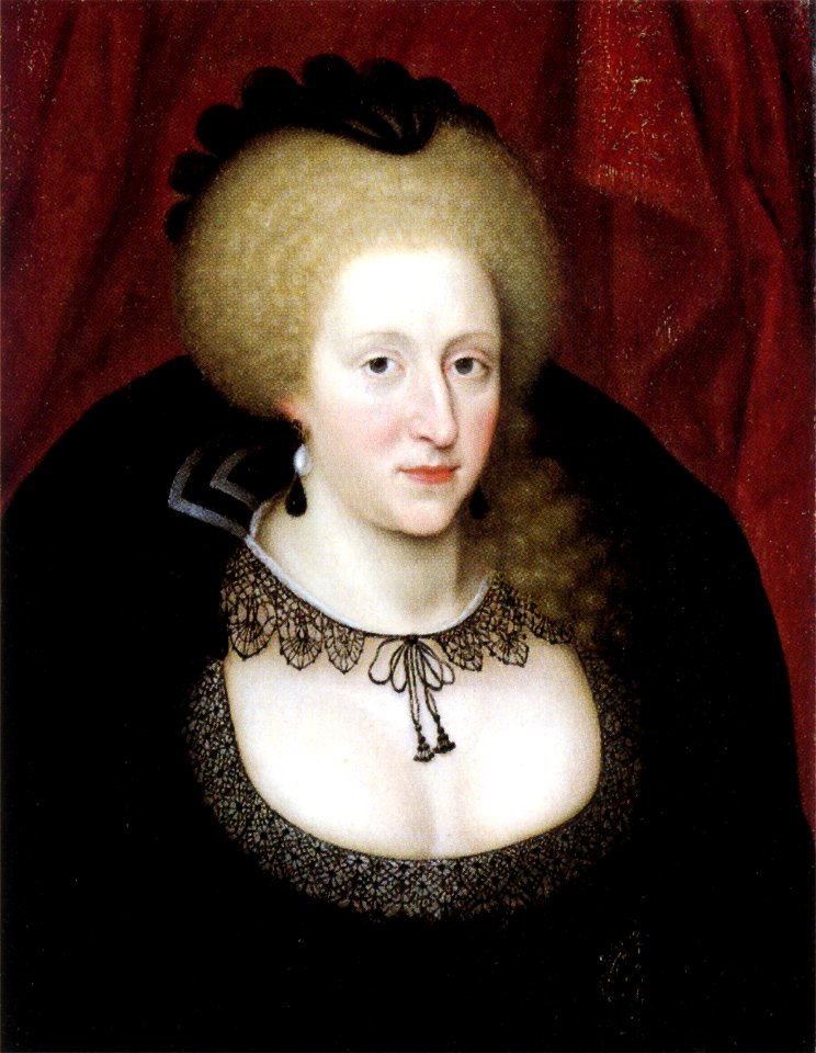
anne of denmark (john de critz - national maritime museum)
skanderborg
historical images of melaka city
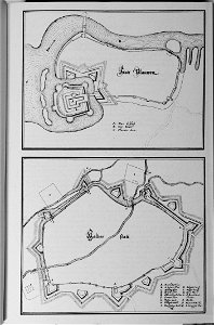
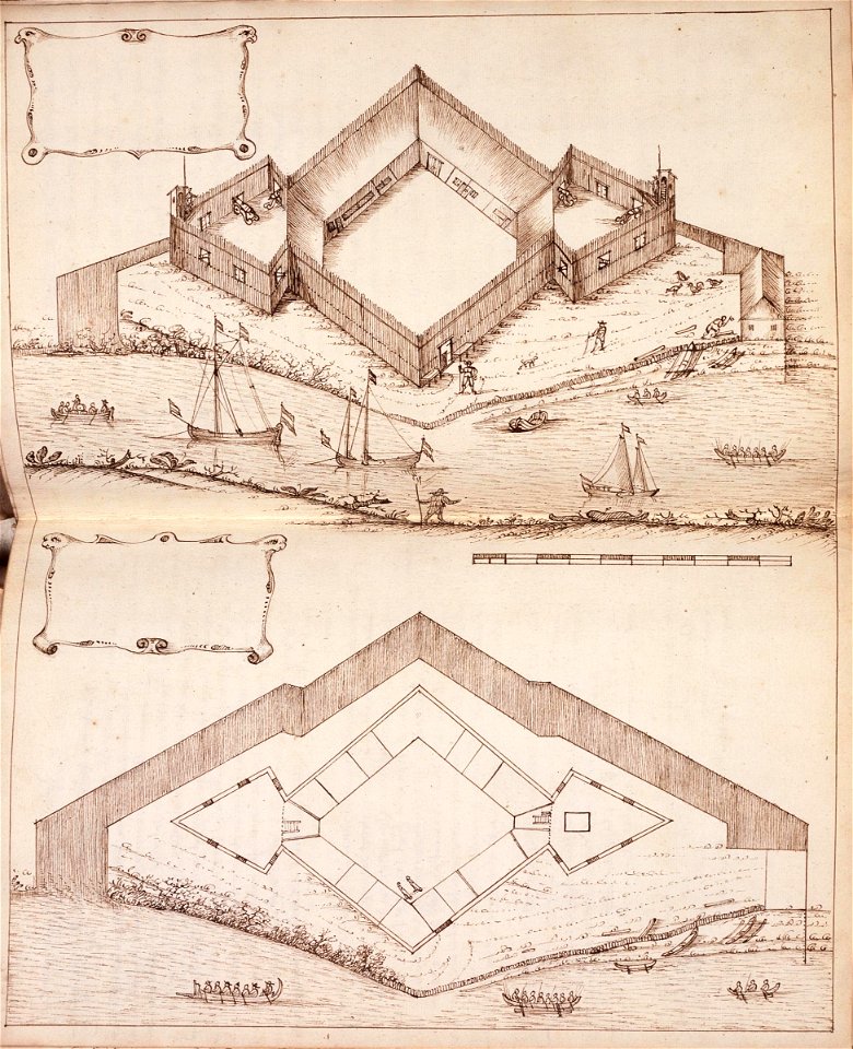
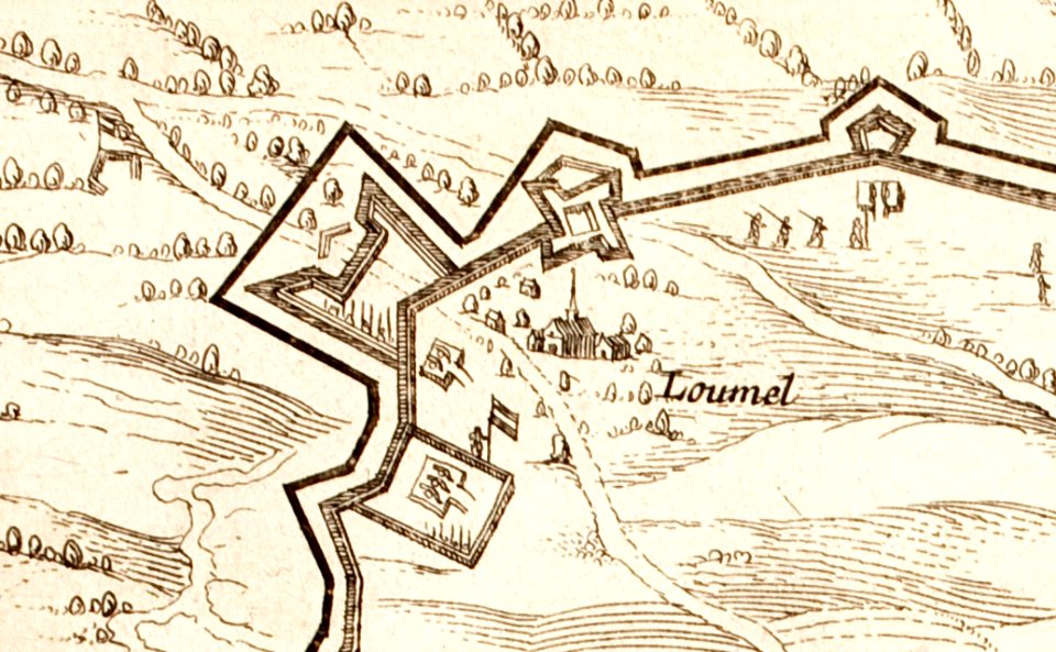
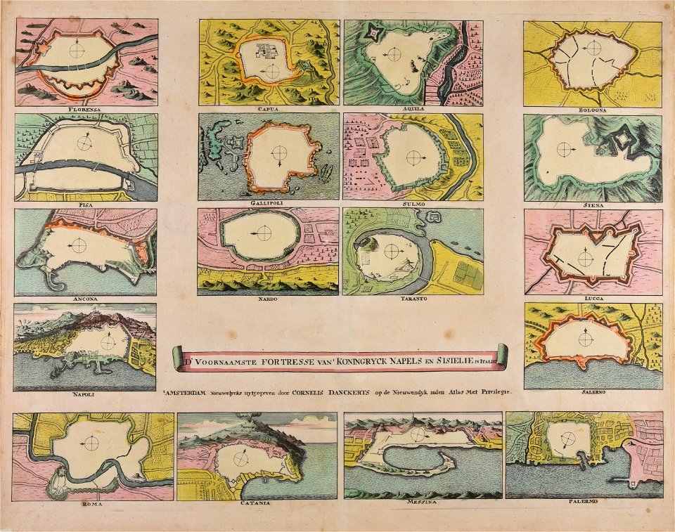
18th-century fortress plans
coats of arms of groningen (city)
braun & hogenberg
maps in the library of congress
western europe
maps in the library of congress
western europe
maps in the library of congress
western europe
maps in the library of congress
western europe
maps in the library of congress
western europe
maps in the library of congress
western europe
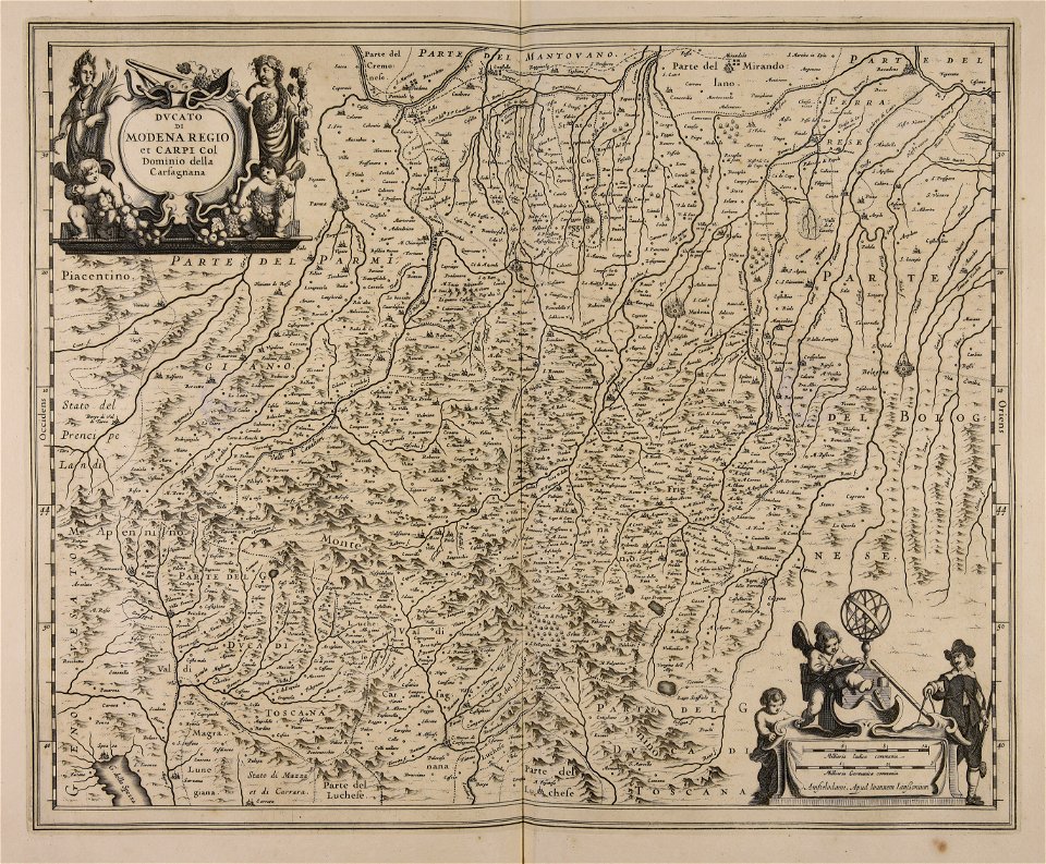
maps made in the 17th century
jan janssonius
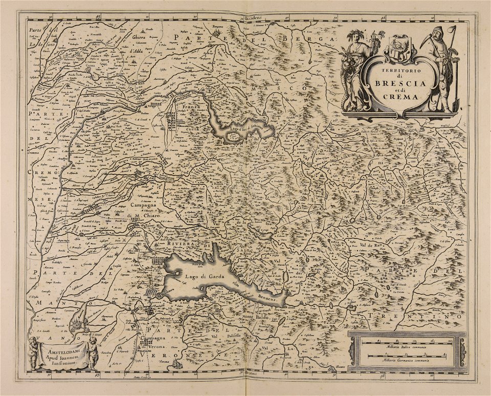
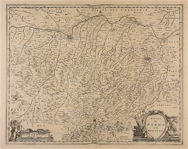
maps made in the 17th century
frederick de wit
prints of cartouches in the rijksmuseum amsterdam
old maps of valletta
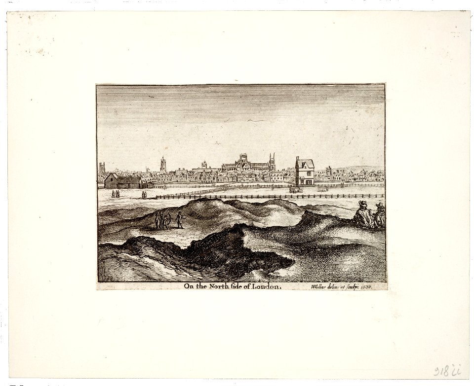
prints by wenzel hollar
views of london
architectural prints by wenzel hollar
southwark cathedral
joyce gold
printing
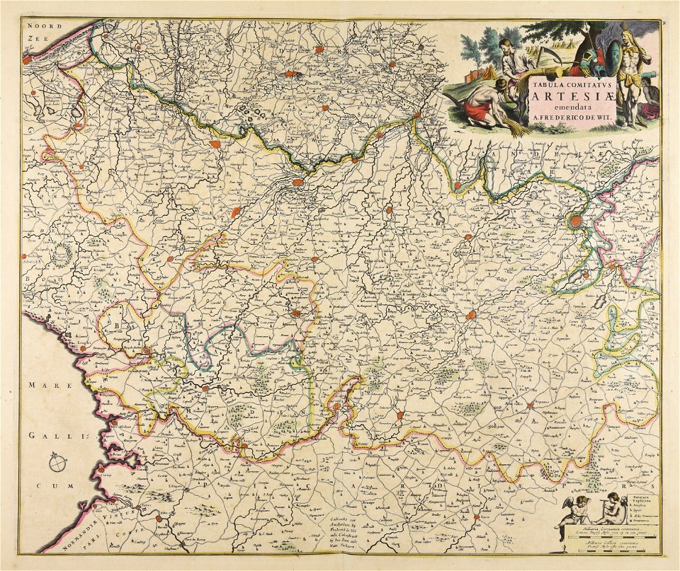
maps made in the 18th century
jeremias wolff
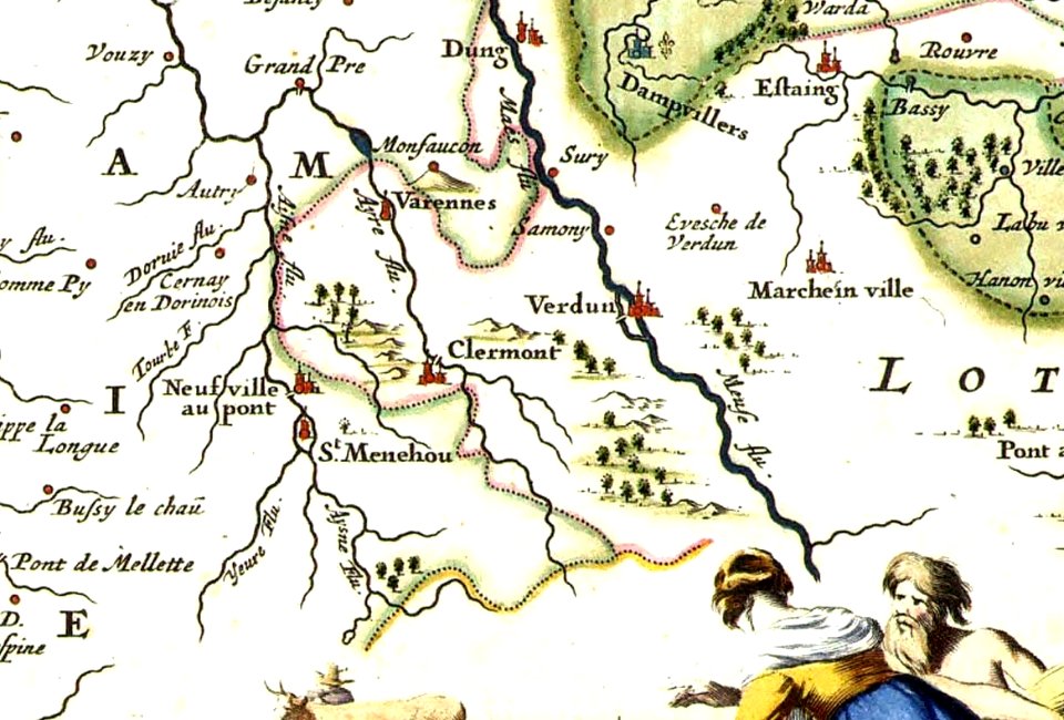
varennes-en-argonne
argonne
images of venice by jacopo de' barbari
barbary
18th-century engraved oval portraits of men at bust length
joseph banks in art
maps of the dutch east india company - indonesia
1646 drawings in indonesia
oude kerk amsterdam in art
frederick de wit
maps made in the 17th century
jan janssonius
maps made in the 17th century
jan janssonius
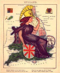
geographical fun - being humourous outlines of various countries
maps in the library of congress
geographical fun - being humourous outlines of various countries
maps in the library of congress
geographical fun - being humourous outlines of various countries
maps in the library of congress
geographical fun - being humourous outlines of various countries
maps in the library of congress
maps made in the 17th century
nicolaes visscher ii
geographical fun - being humourous outlines of various countries
maps in the library of congress
geographical fun - being humourous outlines of various countries
maps in the library of congress
geographical fun - being humourous outlines of various countries
maps in the library of congress
geographical fun - being humourous outlines of various countries
maps in the library of congress
geographical fun - being humourous outlines of various countries
maps in the library of congress
geographical fun - being humourous outlines of various countries
maps in the library of congress
geographical fun - being humourous outlines of various countries
maps in the library of congress
geographical fun - being humourous outlines of various countries
maps in the library of congress
geographical fun - being humourous outlines of various countries
maps in the library of congress
geographical fun - being humourous outlines of various countries
maps in the library of congress
geographical fun - being humourous outlines of various countries
maps in the library of congress
geographical fun - being humourous outlines of various countries
maps in the library of congress
geographical fun - being humourous outlines of various countries
maps in the library of congress
geographical fun - being humourous outlines of various countries
maps in the library of congress
geographical fun - being humourous outlines of various countries
maps in the library of congress
geographical fun - being humourous outlines of various countries
maps in the library of congress
geographical fun - being humourous outlines of various countries
maps in the library of congress
geographical fun - being humourous outlines of various countries
maps in the library of congress
geographical fun - being humourous outlines of various countries
maps in the library of congress
geographical fun - being humourous outlines of various countries
maps in the library of congress
geographical fun - being humourous outlines of various countries
maps in the library of congress
geographical fun - being humourous outlines of various countries
maps in the library of congress
geographical fun - being humourous outlines of various countries
maps in the library of congress
geographical fun - being humourous outlines of various countries
maps in the library of congress
geographical fun - being humourous outlines of various countries
maps in the library of congress
geographical fun - being humourous outlines of various countries
maps in the library of congress
geographical fun - being humourous outlines of various countries
maps in the library of congress
geographical fun - being humourous outlines of various countries
maps in the library of congress
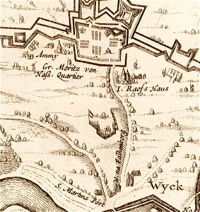
17th-century maps of maastricht
limmel (maastricht)
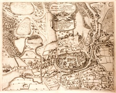
history of leutkirch im allgäu
maps of the thirty years' war
17th-century maps of maastricht
amby (maastricht)
maps made in the 18th century
cornelis danckerts (i)
pictorial history of the russian war 1854-5-6 by george dodd
historical images of kronstadt
friedrichshafen in art
maps of bodenseekreis
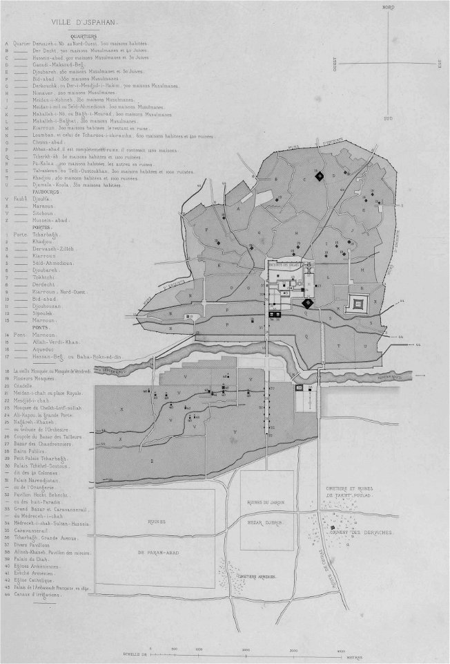
list of paintings and plots by pascal coste and eugène flandin
isfahan
9801 - 9900 of 33,693
Next page
/ 337